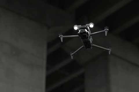
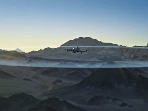
We Elevate Businesses
Delivering professional drone SOLUTIONS to uncertainty TRANSFORM your business.


Property
Aerial property tours, marketing materials for luxury homes and commercial buildings.
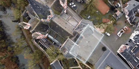
Construction
Aerial property tours, marketing materials for luxury homes and commercial buildings.
Agriculture
Aerial property tours, marketing materials for luxury homes and commercial buildings.
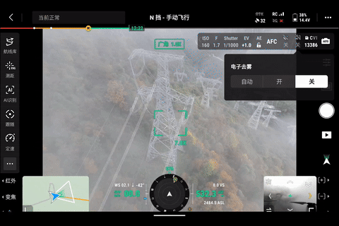
Inspections
Aerial property tours, marketing materials for luxury homes and commercial buildings.
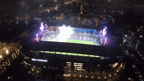
Events
Aerial property tours, marketing materials for luxury homes and commercial buildings.
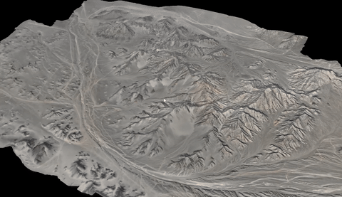
Surveys
Aerial property tours, marketing materials for luxury homes and commercial buildings.
CHOSEN BY LEADING BUSINESSES NATIONWIDE
Check out our reviews below to see what makes our professional drone services exceptional...

Ann-Sophie Claus
Founder & CEO The Female Company
"Yannick is one of the most inspiring leaders I know. As my mentor, he empowers me to achieve maximum impact as a founder and resolve complex situations. He ensures that things that seem not to work, work."
Ann-Sophie Claus
Founder & CEO The Female Company
"Yannick is one of the most inspiring leaders I know. As my mentor, he empowers me to achieve maximum impact as a founder and resolve complex situations. He ensures that things that seem not to work, work."
Ann-Sophie Claus
Founder & CEO The Female Company
"Yannick is one of the most inspiring leaders I know. As my mentor, he empowers me to achieve maximum impact as a founder and resolve complex situations. He ensures that things that seem not to work, work."
Core
Services
Professional drone services paired with stunning results transform how your business operates.
Transform your listings with
stunning aerial imagery
- Cinematic 4K aerial property tours and showcases
- 360° virtual walkthroughs and panoramic views
- Twilight and golden hour photography
- Aerial site planning and development visualization
- Marketing content for social media and websites
- Next-day delivery for urgent listings
Monitor and document your
projects from above
- Weekly progress tracking and documentation
- 3D modeling and volumetric calculations
- Thermal imaging for quality control
- Site logistics and planning support
- Safety and compliance monitoring
- Real-time project updates and reporting
Optimize your farming operations with precision
- NDVI crop health assessment and mapping
- Irrigation system monitoring and planning
- Crop yield estimation and forecasting
- Pest and disease detection
- Plant counting and growth tracking
- Seasonal planning insights
Safe, efficient inspections for hard-to-reach assets
- Wind turbine blade inspections
- Solar panel thermal analysis
- Building envelope assessments
- Tower and antenna inspections
- Bridge and infrastructure surveys
- Detailed defect reporting
Capture unforgettable moments from above
- Live event streaming and broadcasting
- Dramatic aerial reveals and transitions
- Sports event coverage and tracking
- Festival and concert documentation
- Corporate event photography
- Same-day highlight reels
Accurate data for
informed decisions
- Topographic mapping and modeling
- Volumetric calculations and stockpile measurement
- Land development planning
- Erosion monitoring and assessment
- Archaeological site mapping
- GIS data integration
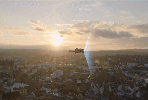
EXCELLENCE IN EVERY FLIGHT
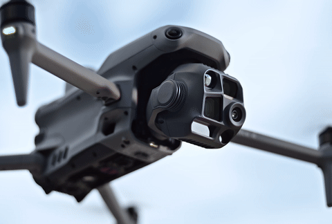
With over a decade of commercial drone expertise and thousands of successful flights, we deliver exceptional aerial services across the UK. Our CAA-licensed pilots and state-of-the-art equipment ensure outstanding results for every project, whether you need stunning aerial photography, precise surveying, or detailed inspections.

Yannick Frank
Founder

Till Augner
Pilot

James Franco
Safety
Empathy
Over 1000+ successful drone missions across construction, real estate, and events.
Safety
Perfect safety record with comprehensive insurance and CAA certification.
Innovation
Latest drone technology and advanced imaging systems for superior results.
FAQ
Ready to launch?
Book a free consultation with our expert team today. We'll show you how professional aerial solutions can transform your business.